Hot Springs National Park is one of the smallest national parks in the United States at less than 9 square miles. This means for visitors that there are not trails that go on for miles and miles. There isn’t technically a backcountry part of this National Park either.
However, there are trails you can take for a short tour around the countryside. You can also go through Hot Springs on some of them.
If you are looking for something longer, cast your research further afield to the surrounding State Parks or National Forests, most of which are much larger.
Goat Rock Trail
- Length : 1.1 miles
- Difficulty : Moderate
- Estimated Time : <1 hour
- Best Time : May
All of the trails throughout Hot Springs National Park are accessible throughout the year. Goat Rock Trail is one of the more popular routes to do in the park and slightly longer. Anything over a mile is an achievement for a single trail, although you have the option to combine tracks to make your hike around the park last longer.
Goat Rock Trail can be accessed from the overlook at North Mountain, and there is a short hike to more overlooks from there. There is a small parking lot at the trailhead if you do not want to walk in. It is also one of the few hikes in the park rated at a moderate level instead of being easy since it features some rising elevation.
The best time of the year to do this is in the Spring, or the Fall since the forest around you lights up. It is well-known for its wildflowers in the spring. Dogs are allowed on the trail, but they do need to be kept on a leash the whole time.
West Mountain Trail
- Length : 1.9 miles
- Difficulty : Moderate
- Estimated Time : <1 hour
- Best Time : May
The West Mountain Trail is a fairly heavily trafficked loop that is just outside Hot Springs, Arkansas. It is best to do this hike in the spring since there are so many wildflowers that bloom alongside the trail. There are several accessibility options and variations that you can take on this trail. It is accessible year-round.
This trail is rated as a moderate trail, although its length places it firmly in the easy category if you are a regular hiker. The trail is well-maintained and wide along its entire length. There are areas of moderate incline at some points of the trail. Part of this goes along an urban route, so it might not be the best choice if you are looking for more privacy.
Dogs are allowed on this trail so long as they are leashed. It is a good one to base a longer hike from if you are looking to add some trails together. There are no overlooks along this trail since it stays in the forest, but there is a chance you will see wildlife.
Gulpha Gorge Trail
- Length : 1.1 miles
- Difficulty : Moderate
- Estimated Time : ~1 hour
- Best Time : June
The Gulpha Gorge Trail is best to do in the summer for wildlife watching or in the spring if you are more interested in wildflowers. The hike rests somewhere between easy to moderate, depending on your fitness level. It is used as a hiking trail, for walking from the city, and more.
Don’t forget your binoculars on this trail since bird watching here is one of the best in the area. There is some elevation gain along this out-and-back trail near the city since it is a route straight up the North Mountain.
Be prepared with hiking poles if you need more stability. The slope can be more than 13% in some areas. To get there, park at the amphitheater parking lot inside of the Gulpha Gorge Campground. There is a trailhead across the Creek over some of the stepping stones. It is marked for you to follow it up the hill.
Sunset Trail
- Length : 13 miles
- Difficulty : Hard
- Estimated Time : 6 to 8 hours
- Best Time : May
Sunset trail is unique throughout this National Park since it is so much longer than the other trails you will find. The reason for this is that it is one large loop that takes you around the entire Park, skirting at times around the city of Hot Springs.
If you decide to do this entire hike, then plan a complete day to tackle it. It is filled with plenty of allure without being too difficult. The amount of time and distance of the hike is what makes it a more challenging trek. There are parts when you ascend the peaks around the National Park that are steeper and can be more difficult.
Some of this trail is not marked particularly well. It is beneficial to bring a GPS hiking watch or a smartphone with very reliable connectivity. The trail takes you over the West Mountain trail and will merge with many others. The markings for the Sunset trail are a reddish-orange blaze.
Hot Springs Mountain Trail
- Length : 3.3 miles
- Difficulty : Easy
- Estimated Time : 2 to 4 hours
- Best Time : June
Hot Springs Mountain Trail is another one of the more popular hikes in the park. There is also a road on which you can drive to the summit and access the tower at the top and its observation decks. However, the trail is widely agreed to be the more engaging of the two options.
This trail winds you up the mountain that is the closest to Hot Springs through a beautiful forest setting. It is best in the summer or the fall since the canopy is denser and it remains stunning and cool underneath and your hiking clothes don’t need to be as heavy.
Dogs are allowed on this trail, but they do need to be kept on a leash. It is also connected to various other trails if you want to branch off or extend your hike. It is not very private since it winds through one of the more trafficked portions of the National Park and you will be able to hear noise from the highways almost constantly.
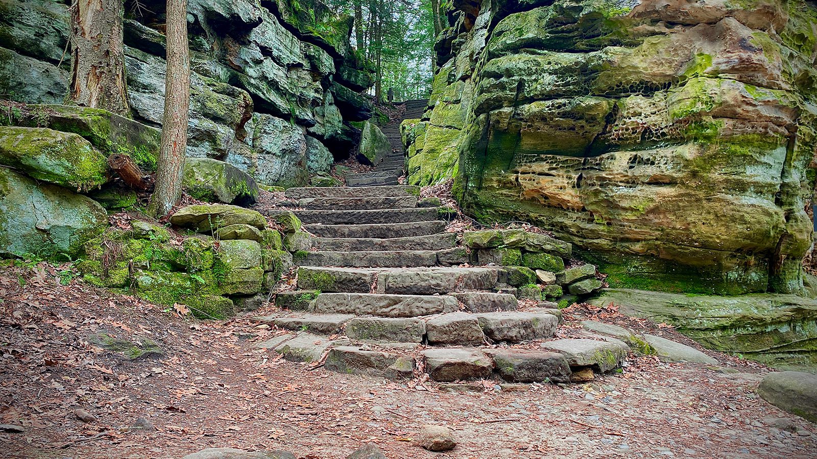
The Grand Promenade
- Length : 0.5 miles
- Difficulty : Easy
- Estimated Time : <1 hour
- Best Time : April
Since the National Park is open and easily accessed throughout the entire year, it is difficult to find a time in which there are fewer tourists. However, during the spring, there is a slow renewal as schools come to a close and summer begins again.
The Grand Promenade might not be considered your standard type of trail. However, it does fall into this category in Hot Springs National Park. This is regarded as a National Recreation Trail and functions as the entry point for much of the access to the Hot Springs, the downtown area, and other trails further into the park.
There are four entry points to get into the Grand Promenade. These include the Reserve Street stairs, a ramp from Fountain Street, the grand staircase called Stephen’s Balustrade, and an access ramp originating behind Fordyce Bathhouse. Dogs are allowed along the Grand Promenade, but they do need to be on a leash.
Oertel Trail / Dead Chief Trail
- Length : 1.4 miles
- Difficulty : Moderate
- Estimated Time : 1 to 2 hours
- Best Time : April
The Oertel Trail has recently been renamed the Dead Chief Trail and has an interesting history around it that you can discover at the Visitor Center of the park. You can access the trail from the downtown area in Hot Springs by ascending Stephen’s Balustrade.
You will be taken along part of the Grand Promenade before you reach gravel, which is the start of the trailhead shortly thereafter. The Oertel Trail takes you up part of the North Mountain ascent. You can add to this trail to reach the summit or other trails if you choose.
Most of this trail is up a steep ascent as you scale along the mountain. Once you reach about halfway up the ridgeline, it flattens along a contour. You can also easily reach Goat Rock Overlook along this trail.
Lower Dogwood Trail to Floral Trail to Honeysuckle Trail
- Length : 1.9 miles
- Difficulty : Moderate
- Estimated Time : 1 to 2 hours
- Best Time : June
This trail is one of the best examples of the way you can add trails together to get a longer trek outside depending on how long you want to hike.
Lower Dogwood Trail starts this line of trails and climbs up most of the way along the North Mountain. The trail begins to drop down from here where you can connect to the Floral Trail and descend the remainder of the way into the valley.
Honeysuckle Trail is a short path that you can take from here to climb the rest of the way out of the valley and back onto the ridgeline. It also serves as the connection between Peak Trail and Hot Springs Mountain Trail if you want to keep going. If you continue, make sure you have enough water in your water bottle to keep you going as far as you need and stay hydrated.

Amanda Williams
Amanda Williams is a writer, plant-nerd, and outdoor enthusiast. She has traveled extensively, around the U.S., throughout Asia, Europe, and Latin America. Everywhere she treks, she takes time to enjoy the outdoors. John Muir is her hero. She aspires to inspire people to live better as he did.