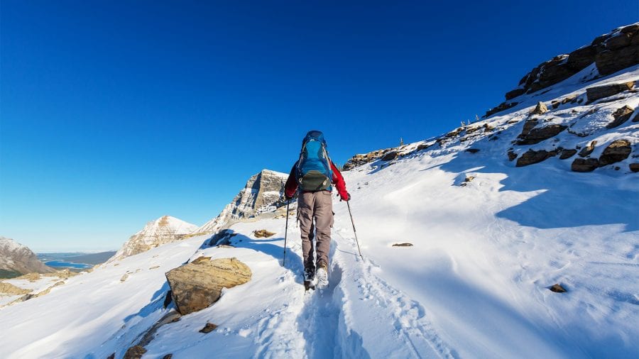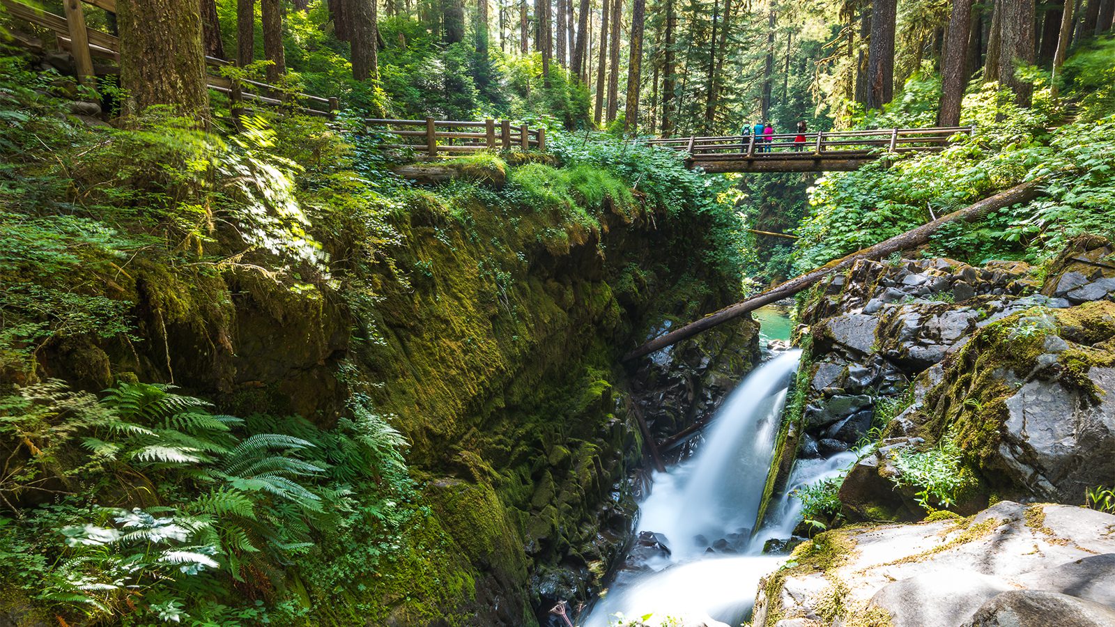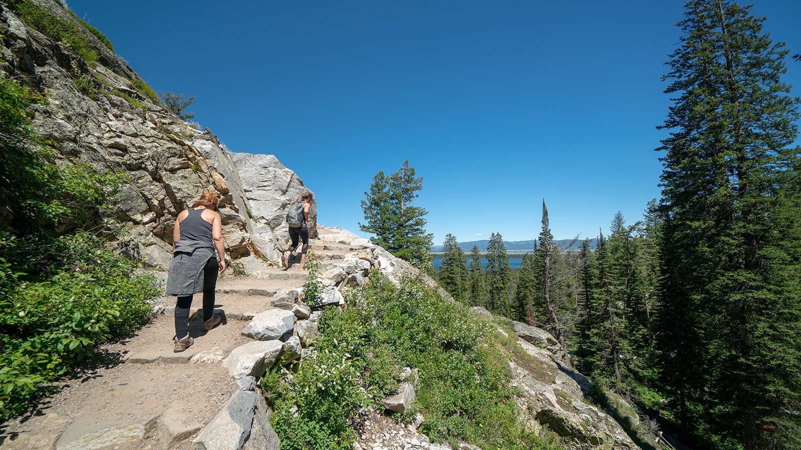
Glacier park features some of the most iconic hiking trails in the entire country. These trails feature so much to see including soaring peaks, beautiful waterfalls, dazzling blue-green lakes, glaciers, and large animal wildlife.
While many of these trails are rugged, long, and hard, other shorter trails are family-friendly and still offer amazing views. In this article, we’ll review the top trails in the park.
Highline Trail
- Length : 11.4 miles
- Difficulty : Moderate
- Estimated Time : 6 hours
- Best Time : June
This amazing trail, which ranks as one of the top hiking trails not just in Glacier, but in the entire country, provides tremendous views. This trail follows the Continental Divide. The beginning of this trek is the most hair raising as this trail follows a narrow 6-foot wide path that hugs the side of the Divide with sheer drops of more than 100 feet.
The trail gradually ascends to the junction of Grinnell Glacier Overlook, which provides an excellent view of the glacier, then on to Granite Park Chalet, the last of what were many chalets in the park. The final four miles of this trip is a steep descent to the Loop.
This trail is located on the Going-to-the-sun Road across from the Logan Pass Visitor Center parking lot or at the Loop.
Avalanche Lake
- Length : 4.6 miles
- Difficulty : Moderate
- Estimated Time : 3 to 4 hours
- Best Time : July
This hike presents a bit of a changeup from the majority of the hikes in glacier park, which feature higher elevations, and sweeping views of the park’s mountainous terrain. Thie hike follows a creek through a dense forest with little change in elevation.
Pick up the trailhead of this hike on the short .7 mile loop Trail of Cedars. Along this loop, you’ll find signs for the hike to the lake. The trek to the lake is mostly uphill but at a very moderate grade, making the hike fairly easy.
The lake is the payoff for this trek. It’s surrounded by cliffs on three sides with many waterfalls cascading down to the lake. Continue to the hike for another 0.7 miles to the other side of the lake to avoid the crowds.
Hidden Lake Overlook
- Length : 2.8 miles
- Difficulty : Easy
- Estimated Time : 1 to 2 hours
- Best Time : August
This is one of the most popular trails in Glacier National park. With its smooth terrain and minimal elevation change, this is a suitable hike for the whole family. It features a varied terrain that includes a mix of boardwalks and gravel trails.
Keep your eyes out for wildlife as this one of the best locations for viewing the park’s mountain goat population. After about 1.4 miles, you’ll reach the overlook of Hidden Lake. From there you can turn back or continue on for another 1.2 miles to the lake, which involves a steep descent that makes the return trip difficult.
Make sure to check the trail status before heading out as this trail is sometimes closed due to grizzly bear activity.
Grinnell Glacier
- Length : 10.6 miles
- Difficulty : Hard
- Estimated Time : 5 to 7 hours
- Best Time : July
If you want a hike that will give you a sampling of all that Glacier National Park has to offer, then you can do not better than Grinnell Glacier. It features the breathtaking alpine scenery the park is known for along with dazzling blue-green lakes, opportunities for viewing wildlife, numerous waterfalls, and, of course, the glacier itself. Don’t be surprised to spot moose, bear, and mountain goats along this trail.
This hike can be completed via two routes: the full trip by taking the Grinnell Glacier Trailhead on the Continental Divide Trail or a shorter 7-mile trip by crossing Swiftcurrent Lake and Lake Josephine by boat shuttle. Given the amount of bear activity around this trail, it’s a great idea to take along bear spray just in case.
Apikuni Falls
- Length : 2 miles
- Difficulty : Moderate
- Estimated Time : 1 to 2 hours
- Best Time : August
This short but popular hike has a big payoff at the end of it in the form of Apikuni Falls. Start this short hike from the Poia Lake Trailhead, which is located 2.8 miles west of the Many Glacier entrance. Though short, this trail involves some significant climbing, ascending som 700 feet to the falls. After a relatively flat first quarter-mile, this trail ascends sharply through pines and thimbleberry patches.
As you climb more than 500 feet in just a half-mile you’ll have good views of the surrounding peaks as well as Cracker Flats. The falls themselves plunge from a cliff face before cascading down the rocks below, creating a two-tiered waterfall. The final couple hundred yards of the trail involves a scramble over rocks to the waterfall’s base.
Cracker Lake
- Length : 12.6 miles
- Difficulty : Hard
- Estimated Time : 6 to 7 hours
- Best Time : August
Reaching Cracker Lake is certainly no easy hike. This strenuous trek is a 12.6-mile round trip journey that ascends some 1,400 feet. What you’ll find at the other end makes this full-day hike worth it. Cracker Lake is easily one of the most beautiful lakes you’ll ever see. It’s nestled amidst a rim of tall peaks with a mix of snow cover and bright green grass and colorful wildflowers. The lake itself is dazzling with its bright aquamarine color.
The hike skirts the base of Allen Mountain before meeting up with Cracker Flats horse trail. As you make the six-mile trek to the lake you’ll cross Allen Creek and cross the ridge between Allen and Canyon creeks. If you want to make this a multi-day trek, camp at Cracker Lake campground by the lake.
Iceberg Lake Trail
- Length : 9.8 miles
- Difficulty : Moderate
- Estimated Time : 6 to 8 hours
- Best Time : July
This aptly named trail takes you to a beautiful lake that features icebergs drifting on blue-green water, surrounded by cliffs that rise some 2,000 feet all around it. After a fairly steep start, this trail maintains a gentle upward grade all the way to the lake at about the 5-mile point. As you hike in you’ll have an excellent view of the wide meadows along the slopes above and below the trail. This area is a favorite spot for bighorn sheep, grizzlies, and mountain goats.
As you continue on you’ll spot Ptarmigan Falls, several avalanche chutes, and numerous wide-open meadows before arriving at Iceberg Lake. With the exception of unseasonably warm years, this lake will have drifting icebergs floating in it in the summer months. Make sure to come prepared for this hike with rain gear and cold weather jackets.
Ptarmigan Tunnel
- Length : 10.7 miles
- Difficulty : Hard
- Estimated Time : 6 to 8 hours
- Best Time : July
This hike isn’t nearly as popular as some of the other hikes in the park, but it does offer solitude as well as the adventure of traversing a tunnel that goes right through a mountain. This trail uses the Iceberg Lake Trail before splitting at that trails halfway point. From here the trail gets steeper and more strenuous.
Along the way, you’ll be treated to views of the Ptarmigan Wall, which towers some 1,700 feet above the trail, as well as numerous waterfalls that cascade down to the creek below. As you near the end of the hike you’ll encounter the 240-foot Ptarmigan Tunel, which was created in the 1930s. On the other side of the tunnel, you’ll have views of Natoas Peak, Crosley Ridge, and the Belly River.
Swiftcurrent Pass Trail
- Length : 7.7 miles
- Difficulty : Moderate
- Estimated Time : 4 to 5 hours
- Best Time : August
Though long, this trail is one of the best trails in the park not only because it offers amazing views of the park’s surrounding peaks, but also because much of the hike is very easy. This makes Swiftcurrent a great option for families or those who want to experience these incredible views without having to undertake a strenuous hike. Pick up the trailhead at the end of Many Glacier Road in front of the concession store and restaurant.
The first four miles of this trail is easy as it passes by several lakes while offering amazing views of the surrounding peaks including Mt. Wilbur, Grinnell Point, the Continental Divide, and Mt. Grinnell. The second part o the hike climbs from Bullhead Lake to the Continental Divide at Swiftcurrent Pass before descending to Granite Park Chalet.
St. Mary Falls
- Length : 1.7 miles
- Difficulty : Easy
- Estimated Time : 1 to 2 hours
- Best Time : August
This easy family-friendly hike descends less than a mile to St. Mary Falls, one of the most beautiful in the entire park. Begin the trail from St. Mary Falls shuttle stops about 10 miles west of the St. Mary Entrance Station on the Going-to-the-Sun Road.
The trail begins with excellent views of several peaks, including Dusty Star Mountain, Almost-ADo Mountain, and Little Chief Mountain. The trail eventually reaches the St Mary River and follows it until reaching the falls, which 35-feet over several tiers. Continue on this trail for another mile to bad Virginia Falls before heading back.
Amanda Williams
Amanda Williams is a writer, plant-nerd, and outdoor enthusiast. She has traveled extensively, around the U.S., throughout Asia, Europe, and Latin America. Everywhere she treks, she takes time to enjoy the outdoors. John Muir is her hero. She aspires to inspire people to live better as he did.


