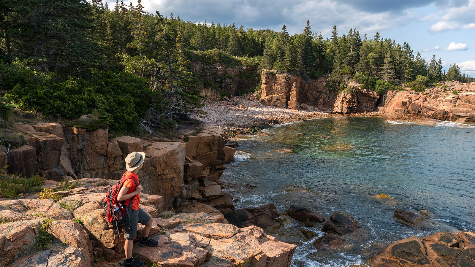
The Appalachian Trail is one of the most famous long-distance treks globally, not to mention America. There are three long-distance trails that hardcore backpackers take on, and this is one of them. Famed for its natural beauty and serenity, this trail satisfies anyone who takes on the challenge.
What about those of us who want to experience the wilderness without the half-year commitment?
There are numerous points up and down the trail that are incredibly accessible to day hikers, no matter what you look for in a hike.
Clingmans Dome, TN
- Length : 1.1 miles
- Difficulty : Easy to moderate
- Estimated Time : ~1 hour
- Best Time : May to November
At the height of 6,643 feet, Clingmans Dome claims the highest point within the Great Smoky Mountains National Park and in all of Tennessee. There is a famed observation tower with a looping paved trail to the top at the summit of the mountain.
This tower draws in people of all fitness levels since, although steep, it is easy enough to ascend. It offers 360° views, and on a clear day, you can see for more than 100 miles in any direction. Air pollution typically limits this to 20 miles or less.
The tower is open all year, but the road that leads up to it closes seasonally from about December to March. You can hike to it at any time, though, from trails along Clingmans Dome Road. The Clingmans Dome Observation Tower Trail is the most popular and is heavily trafficked.
Dragon’s Tooth Trail, VA
- Length : 4.1 miles
- Difficulty : Hard
- Estimated Time : 2 to 4 hours
- Best Time : April to October
If you are ready to tackle part of the Appalachian Trail, prepare to take on the Dragon. It stands on top of Cove Mountain and has an elevation gain of 1,505 feet.
This trail is not very long, and yet it is rated as a challenging trail since the entire way is quite steep. The last portion involves some bouldering that requires some balance and physical fitness.
Although challenging, the Dragon’s Tooth is very popular, so it is best to avoid it over the weekends. The trail boasts beautiful views of the rolling hills and mountains below and offers some scrambling up the final push to the tooth. It is hard to do with a dog, but doable, and they are allowed on the trail with a leash.
Max Patch Loop, NC
- Length : 1.5 miles
- Difficulty : Easy
- Estimated Time : ~1 hour
- Best Time : April to November
Just because you want a taste of the Appalachian Trail doesn’t mean that you have to break your back to do it. Max Patch offers a pleasant, leisurely hike through meadows atop a summit of the rolling hills.
The road to get to the trailhead can be difficult for some 2WD vehicles to navigate. However, that will likely be the most challenging part of the trail. Many previous hikers recommend getting to the location early, camping with their families or in a two-person tent, and watching the sunrise in the morning perched on a backpacking chair.
Since it is an easier section of the trail, it is often overcrowded on weekends on major holidays. Always remember to respect the areas you visit, as well. This region has struggled because of too much tourism.
Tumbling Waters Trail, PA
- Length : 3.3 miles
- Difficulty : Easy to moderate
- Estimated Time : 2 hours
- Best Time : May to October
Tumbling Waters Trail is located near Bushkill, PA, and is a hike down to two gorgeous waterfalls. It is primarily used for day hikes and nature trips. You can even take your dog with you on this more leisurely stroll.
The trail is right next to the state line for Pennsylvania and Delaware. It is quite popular since it is easy enough and leads to stunning falls tucked away in a dense forest. It exhibits history as well since you pass by old farm sites and more on the way to Tumbling Waters. It is on the edge of the Pocono Plateau, so you will be able to get views over the Delaware Valley and the Kittatinny mountains.
Eventually, the water flows down from the plateau and cuts through steep slopes to end in the Delaware River.
Mount Rogers, VA
- Length : 8.6 miles
- Difficulty : Moderate
- Estimated Time : 5 to 7 hours
- Best Time : March to June
The highest point in the state of Virginia is on top of Mount Rogers, located inside of the Jefferson National Forest and part of the Appalachian Trail. To the south of the forest lies Grayson Highlands State Park. This area is famed for its resident wild ponies.
Although many trails break off throughout the two protected lands, one of the most popular ways to get through and ascend Mount Rogers is via the Appalachian Trail. It starts by passing through open meadows and showcasing sweeping views throughout the wilderness.
Many of those looking to reach the summit can pair it with a trek through Grayson to see the ponies recommend starting from Massie Gap along the Rhododendron Trail. It is from here that you connect to the AT and begin the ascent to the peak.
Baldpate, MA
- Length : 8.3 mi
- Difficulty : Hard
- Estimated Time : 5 to 8 hours
- Best Time : May to August
Baldpate Mountain along the Appalachian Trail is an out and back path that offers an opportunity to gain on two stunning summits. There is a west peak and an east peak. They are connected with a network of wooden structures that resemble a boardwalk along with wooden ladders.
The path to obtaining the summit of the mountain is quite strenuous. There are parts of the Appalachian Trail that are only recommended for experienced trekkers to take on, which is one of them. It makes it less crowded than some of the other areas featured on the list.
The hike gives you high chances of seeing wildlife common to the area, and dogs are allowed to join you, albeit on a leash. Be very careful when you come to the boardwalk if you are hiking with a dog.
Buttermilk Falls Trail, NJ
- Length : 2.8 miles
- Difficulty : Easy to moderate
- Estimated Time : 2 hours
- Best Time : May to October
Buttermilk Falls is the tallest waterfall in New Jersey, ascending almost 1,000 feet high. It is located in the Delaware Water Gap National Recreation Area. This can seem confusing, but this Recreation Area spans multiple states.
The hike makes a loop that, for the most part, is relatively easy to trek on, and many people bring along their leashed pets. Some people consider it an easy trail, but it is quite rocky throughout some areas, and thus your footing needs to be solid. You walk along a gurgling stream for quite a ways, gaining some of the peace that many of us search for in nature.
There are quite a few trails that you can take in the area that often leads to the Falls, and exploring is encouraged, although preferably along the trails.
McAfee Knob, VA
- Length : 8.1 miles
- Difficulty : Moderate
- Estimated Time : 3 to 5 hours
- Best Time : August to November
This trail has earned quite a reputation and is heavily trafficked. It is tucked into Jefferson National Forest in the Virginia segment of the Appalachian Trail. It stands apart from many other summit points in the area due to its ledge that sticks out over the Shenandoah Valley far below.
Hiking to McAfee Knob on the Appalachian Trail gives you a pleasant one-day hike that is moderately strenuous. Although it is open for most of the year, it is most stunning during the autumnal months. You look out over a valley covered in warm shades of red, orange, yellow, and gold during this time. Hiking it close to sunset only lights it up further.
The mountain is Catawba, and the trail is located near the infamous Roanoke, Virginia. It can be extremely popular, so try to avoid it on the weekends or holidays.
Mau-Har Loop, VA
- Length : 14 miles
- Difficulty : Hard
- Estimated Time : 12 to 16 hours
- Best Time : June to September
Pack your coffee makers and prepare. Just because you do not have time to take on the entire 5 to 7 months of the AT doesn’t mean you can’t spare a couple of days. The Mau-Har Loop gives you a bigger slice of the entire 2,190-mile trail than the hikes featured previously.
This trail takes you up in elevation about 7,000 feet, making it a strenuous piece, to say the least. It rewards you for all your hard work as you pass through the Three Ridges Wilderness. You will see natural beauties like Hanging Rock Vista atop Bee Mountain and Chimney Rocks Vista at the summit of Three Ridges mountain. There are 40-foot waterfalls and if it is a warm day, cool off in a secret swimming hole.
Due to the longer trail time required on this path, it is best to do it as an overnight stint. Ensure you carry enough food and water or have a water filter to use the stream for supply.
Nantahala Mountains, NC
- Length : 29 miles
- Difficulty : Hard
- Estimated Time : Three days
- Best Time : June to September
Finally, if you want to start training for some longer treks, take shorter Appalachian Trail segments. By doing them in chunks, you can prepare yourself, make more accurate checklists for future supplies, and acclimate physically.
Hiking through the Nantahala Mountain portion of the Appalachian Trail in North Carolina is a great way to do this. It is also recommended if you are looking for a solitary trek with just you and some nature for a while.
There are also side trails that branch off to give you additional room to explore the Southern Nantahala Wilderness if you want to extend your trip.

Amanda Williams
Amanda Williams is a writer, plant-nerd, and outdoor enthusiast. She has traveled extensively, around the U.S., throughout Asia, Europe, and Latin America. Everywhere she treks, she takes time to enjoy the outdoors. John Muir is her hero. She aspires to inspire people to live better as he did.